
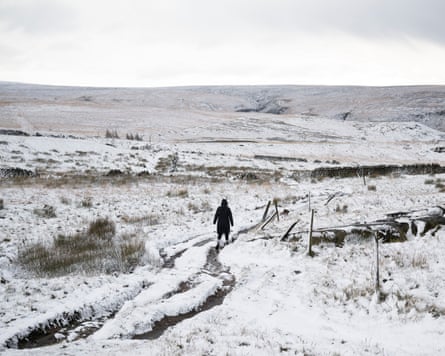
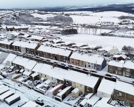
Wintry conditions are expected to continue in coastal areas of the UK after up to 7cm (2.7in) of snow fell in parts of the country.
The Met Office said conditions in central inland areas were likely to be brighter and drier, while wintry showers were expected on the coasts of north Scotland and the east and west coasts of the UK.
Areas including London, Hertfordshire, Berkshire, Surrey, Essex, Shropshire and Northumberland had snow overnight and on Wednesday morning. Met Office weather stations in Lake Vyrnwy in Powys, Wales, recorded 7cm of lying snow at 8am.
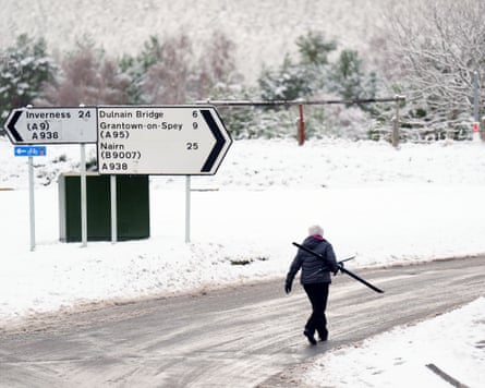
Reports from other stations included 5cm of lying snow in Lerwick in Shetland, 4cm in Loch Glascarnoch, 7cm in Altnaharra and 2cm in Aviemore, all in the Scottish Highlands, and 1cm each in Dyce in Aberdeenshire, Drumalbin in South Lanarkshire and at Redesdale Camp in Northumberland.
A Met Office spokesperson said while there were no records of lying snow in the south, there were areas where snow fell but had not settled and there may be areas away from the weather stations where a “dusting” of snow had settled.
They added: “We will continue to see wintry showers on the windward coasts, so north Scotland as well as the east and west coasts of the UK.
“It’ll be brighter and drier in central inland areas. The front that has brought some falling snow in parts of the midlands and south of England this morning will clear south and then we’ll continue to see wintry showers through the day.
“A number of warnings have been issued to cover the accumulations of snow in these areas, with an amber area for a part of north east England.”
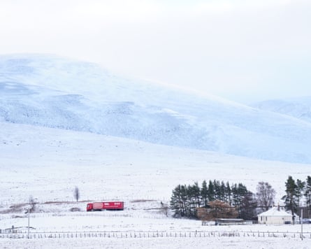
Multiple Met Office yellow warnings for ice and snow have been issued for the coming days, covering Northern Ireland, parts of Wales, northern and south-westerly parts of England and much of Scotland.
The Met Office chief forecaster, Neil Armstrong, said: “Cold Arctic air from the north is firmly in charge of the UK’s weather, bringing the first notable cold snap of this autumn and giving an early taste of winter weather.
“As a result, winter hazards are likely through the next few days, with snow and ice a particular hazard, and the coldest conditions likely on Wednesday and Thursday.
“Wintry showers will affect areas exposed to the brisk northerly wind, in particular Northern Ireland, south-west Wales, south-west England, north-east England and across the northern half of Scotland.
“Whilst not all places will see lying snow, where showers are most frequent accumulations of 2-5cm will be possible. On higher ground in Scotland, 15-20cm could accumulate, and potentially as much as 15-25cm over the North York Moors and Yorkshire Wolds.”