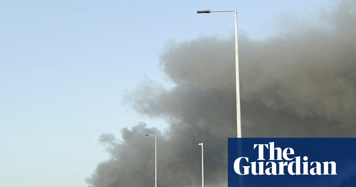
A wild winter storm brought strong winds, heavy snow and frigid temperatures to the Great Lakes and north-east on Tuesday, a day after a bomb cyclone barreled across the midwest and left tens of thousands of customers without power.
The storm hit parts of the Plains and Great Lakes on Monday with sharply colder air, strong winds and a mix of snow, ice and rain, leading to treacherous travel. Forecasters said it intensified quickly enough to meet the criteria of a bomb cyclone, a system that strengthens rapidly as pressure drops.
Nationwide, more than 120,000 customers were without power Tuesday morning, nearly a third of them in Michigan, according to Poweroutage.us.
As the storm moved into Canada, the National Weather Service predicted more inclement weather conditions for the eastern US, including quick bursts of heavy snow and gusty winds known as snow squalls. Blustery winds were expected to add to the arctic chill, with low temperatures dipping below freezing as far south as the Florida panhandle, the agency said.
Some areas in western and upstate New York saw a foot or more of snow Monday and their totals could reach up to 3ft (91cm) this week, forecasters said. Strong winds on Monday, including an 81 mph (130 km/h) gust in Buffalo, New York, knocked down trees and wires across the region, the National Weather Service said.
“At this point, the worst does seem to be over, and we are expecting conditions to improve especially by later today,” said Andrew Orrison, a Weather Service meteorologist in College Park, Maryland.
Videos on social media show people struggling to walk in the windy conditions and a waterway in downtown Buffalo clogged with tree branches and other debris stemming from a windblown surge from Lake Erie.
Just south of Buffalo in Lackawanna, Diane Miller was caught on video being blown off the front steps of her daughter’s house and landing in some bushes. She wasn’t seriously hurt.
“I opened her door and the wind caught me, and I went flying,” Miller told WKBW-TV.
Winds were expected to decrease in speed Tuesday, but there could still be whiteout conditions in some areas, forecasters said.
“If you’re in an impacted area, please avoid all unnecessary travel,” New York governor Kathy Hochul warned said in a post on X.
The fierce winds on Lake Erie sent water surging toward the basin’s eastern end near Buffalo while lowering water on the western side in Michigan to expose normally submerged lakebed – even the wreck of a car and a snowmobile.
Kevin Aldrich, 33, a maintenance worker from Monroe, Michigan, said he has never seen the lake recede so much and was surprised Monday to spot remnants of piers dating back to the 1830s. He posted photos on social media of wooden pilings sticking up several feet from the muck.
“Where those are at would typically be probably 12ft deep,” or 3.6 meters, he said. “We can usually drive our boat over them.”
Waves on Lake Superior had been expected to reach 20ft (6 meters) on Monday, sending all but one cargo ship into harbors for shelter, according to MarineTraffic.com.
Dangerous wind chills across parts of North Dakota and Minnesota plunged as low as -30F (-34C) on Monday. And in north-east West Virginia, rare nearly hurricane-force winds were recorded on a mountain near Dolly Sods, according to the National Weather Service.
On the West Coast, strong Santa Ana winds with isolated gusts topping 70 mph (112 km/h) brought down trees in parts of southern California where recent storms had saturated the soil. Downed power lines forced the shutdown of a freeway north of Los Angeles for several hours on Monday. Wind advisories had expired by evening, but blustery conditions were expected through Saturday, along with thunderstorms.
Rain on New Year’s Day could soak the Rose Parade in Pasadena for the first time in about two decades.

 2 months ago
90


