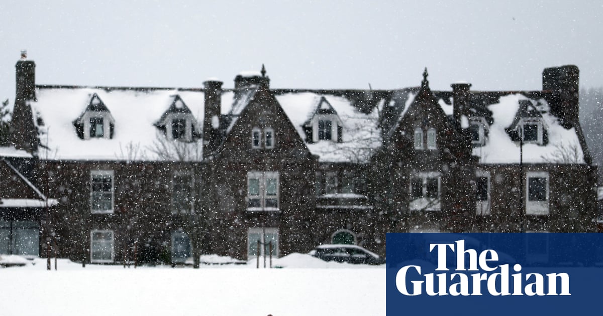
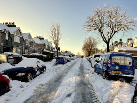
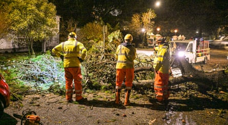
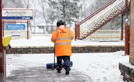
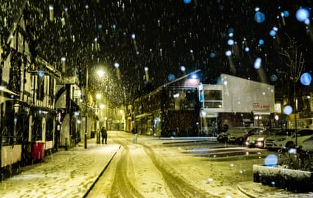
Snow and ice are expected to grip much of the UK over the weekend as parts of the country continue to reel from the effects of Storm Goretti, which left thousands of people facing power cuts, school closures and travel chaos.
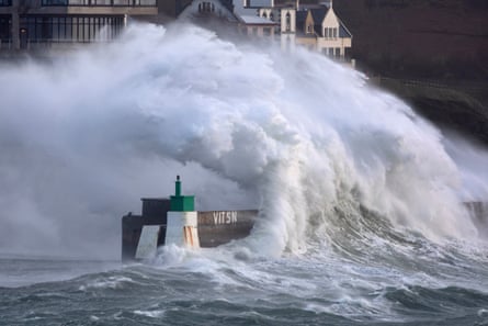
The storm brought winds of nearly 100mph after forecasters issued a rare red warning for “dangerous, stormy” winds in the south-west.
More than 40,000 properties in the region were without power shortly before 2pm on Friday, according to the National Grid’s website. About 9,000 homes were without electricity in the West Midlands, more than 700 in the East Midlands, and more than 200 in Wales.
Downing Street said support was being offered to homes left without power.
A No 10 spokesperson said: “The latest data I have is that around 0.21% of British customers are without power. Engineers and staff are working to reconnect them as quickly as possible. The latest numbers I have is approximately 150,000 customers have had their power restored so far.”
Forecasters recorded 15cm of snow at Lake Vyrnwy in Powys, 7cm at Preston Montford in Shropshire and 7cm in Nottingham.
In Scotland, Altnaharra in Sutherland recorded 27cm of snow, with 26cm at Loch Glascarnoch and 22cm at Durris in Kincardineshire.
The lowest overnight temperature was -13.3C at Braemar in Aberdeenshire, while a peak gust of 99mph was recorded at St Mary’s on the Isles of Scilly – the highest since 1991, according to the Met Office.
Steve Willington, the Met Office’s chief forecaster, said more snow was possible on Sunday, after a “largely dry” Saturday, apart from north-eastern parts of Scotland and England.
A yellow warning for snow and ice will be in force across much of Scotland from 2am until 3pm on Sunday.
Willington said: “A further 2-5cm of snow is possible to accumulate at low levels within the warning area on Sunday, with 10-20cm possible over higher ground. With much of this falling in areas that have already seen severe snowfall, ongoing disruption is likely.
“Those in central and southern England and Wales will see this fall as rain, in what will be a wet Sunday for many.”
A separate yellow warning covering large parts of Scotland, the East and West Midlands, north-east and north-west England and Yorkshire will be in place from 2am to 3pm on Sunday.
Yellow warnings for snow and ice have been extended into Saturday for large parts of Scotland, England and Northern Ireland. A warning is in force from midday on Friday until 3pm on Saturday, with further snowfall possible across parts of northern England and swaths of Scotland, while a widespread risk of ice is expected to cause disruption.
A separate yellow warning for ice will cover large parts of England and Wales from midday on Friday until midday on Saturday, as partially thawed snow refreezes, accompanied by wintry showers and freezing fog.
In Northern Ireland, a yellow warning for snow and ice will come into force from 5pm on Friday and run until 11am on Saturday, with the Met Office warning of icy patches and snowfall on higher ground.
At least 69 flights scheduled to operate to or from Heathrow on Friday have been cancelled, affecting more than 9,000 passengers. The majority of the cancellations are short-haul services operated by British Airways.
Rail services across England, Wales and Scotland may be affected until the end of the day on Friday due to the weather, National Rail said.
The storm, named by the French forecaster Météo France, was described as a “multi-hazard event” by the Met Office.
Dozens of schools across the Midlands and Wales, where an amber warning was in force, announced closures on Friday.
More than 250 schools were expected to remain closed in Scotland, including more than 150 in Aberdeenshire, dozens in the Highlands and Aberdeen, and several in Moray.
Forecasters also warned that the combination of melting snow and rain could increase the flood risk for some areas in the coming days.